01
Ground truth
We walk it ourselves, in the season we sell it, or we do not sell it.
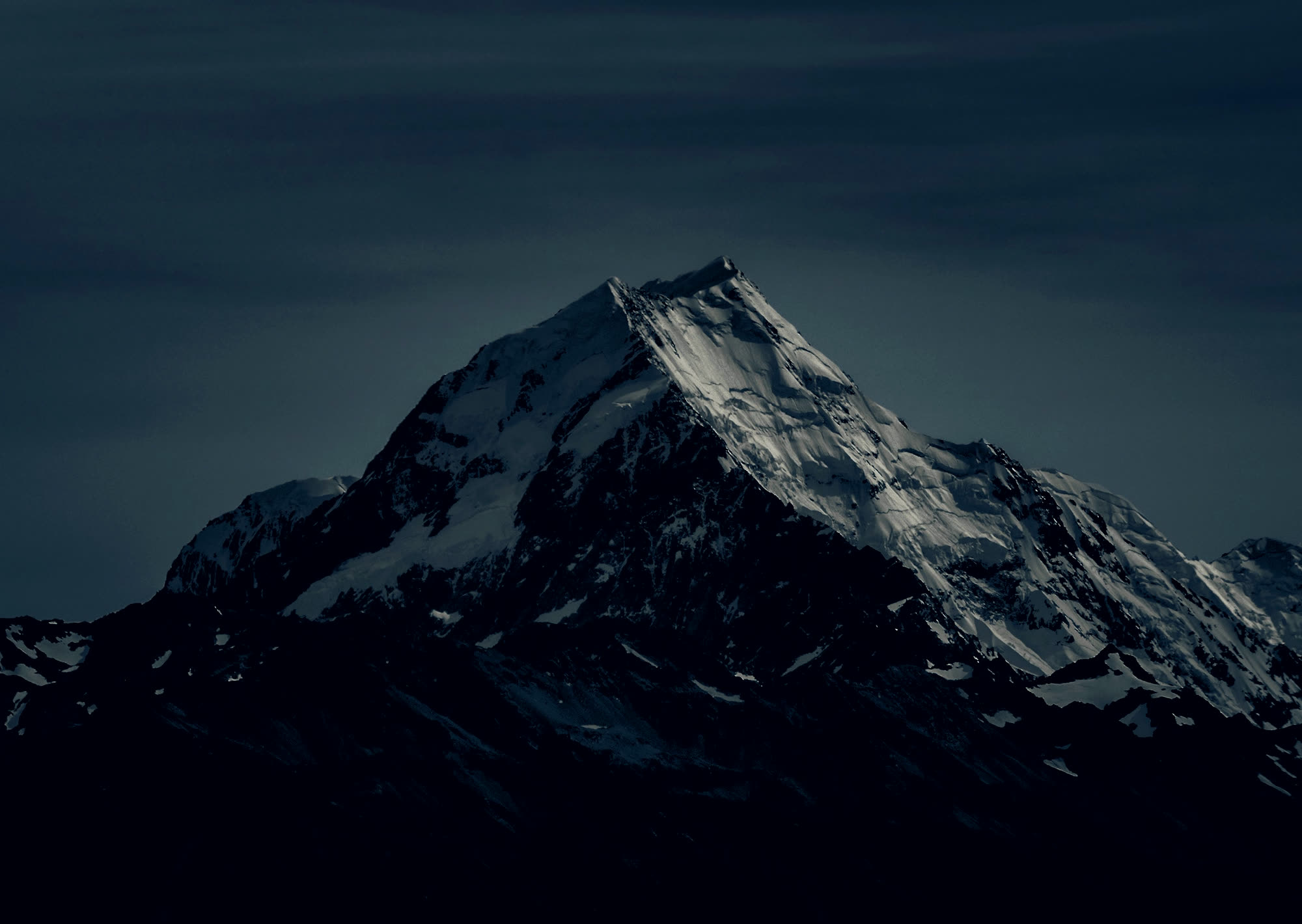
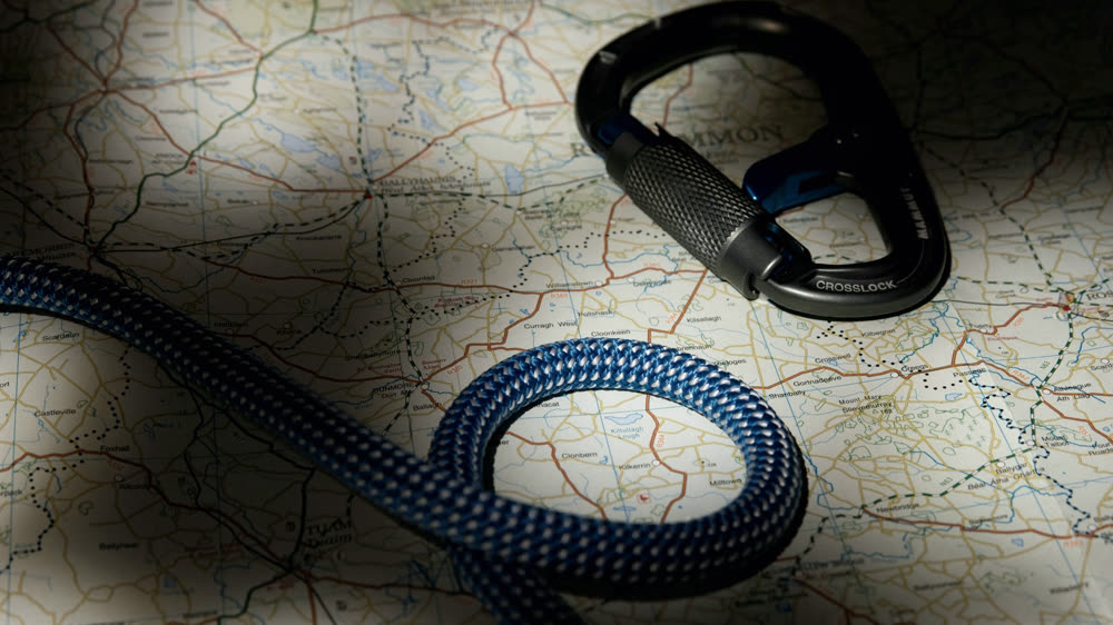
DATUM plans guided expeditions by elevation, not by itinerary. This page begins 5,364 metres above the datum and ends 30 metres beneath it.
A datum is the surface everything else is measured from.
Mean sea level. Zero.
The line every altitude on earth is quoted against.
Most travel is sold sideways. One city, then another city.
We sell it vertically.
Five places on this page. Each one sits at its true published elevation, and you can only go down.
The instrument on the right is reading your position. It is the only navigation here.
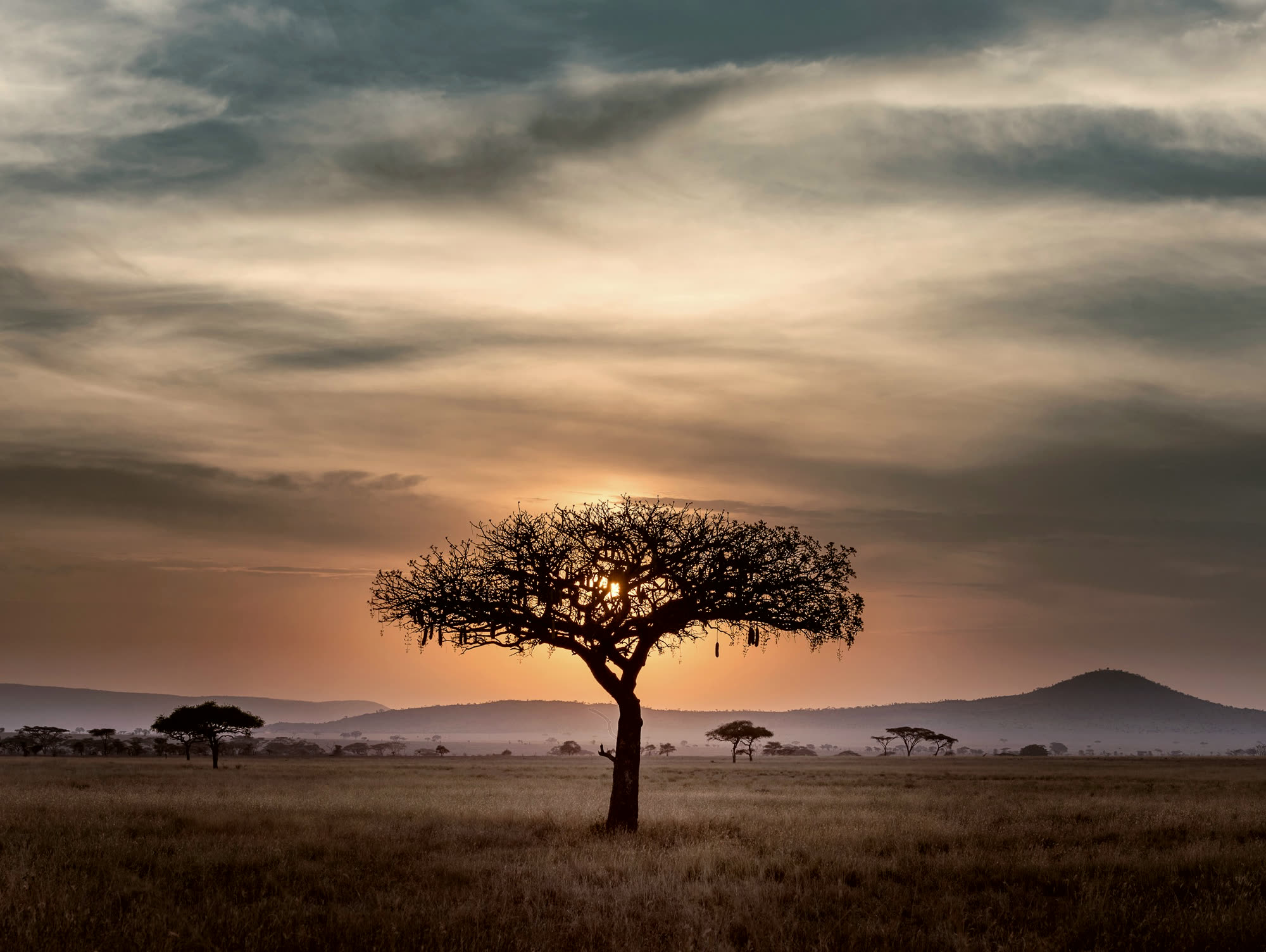
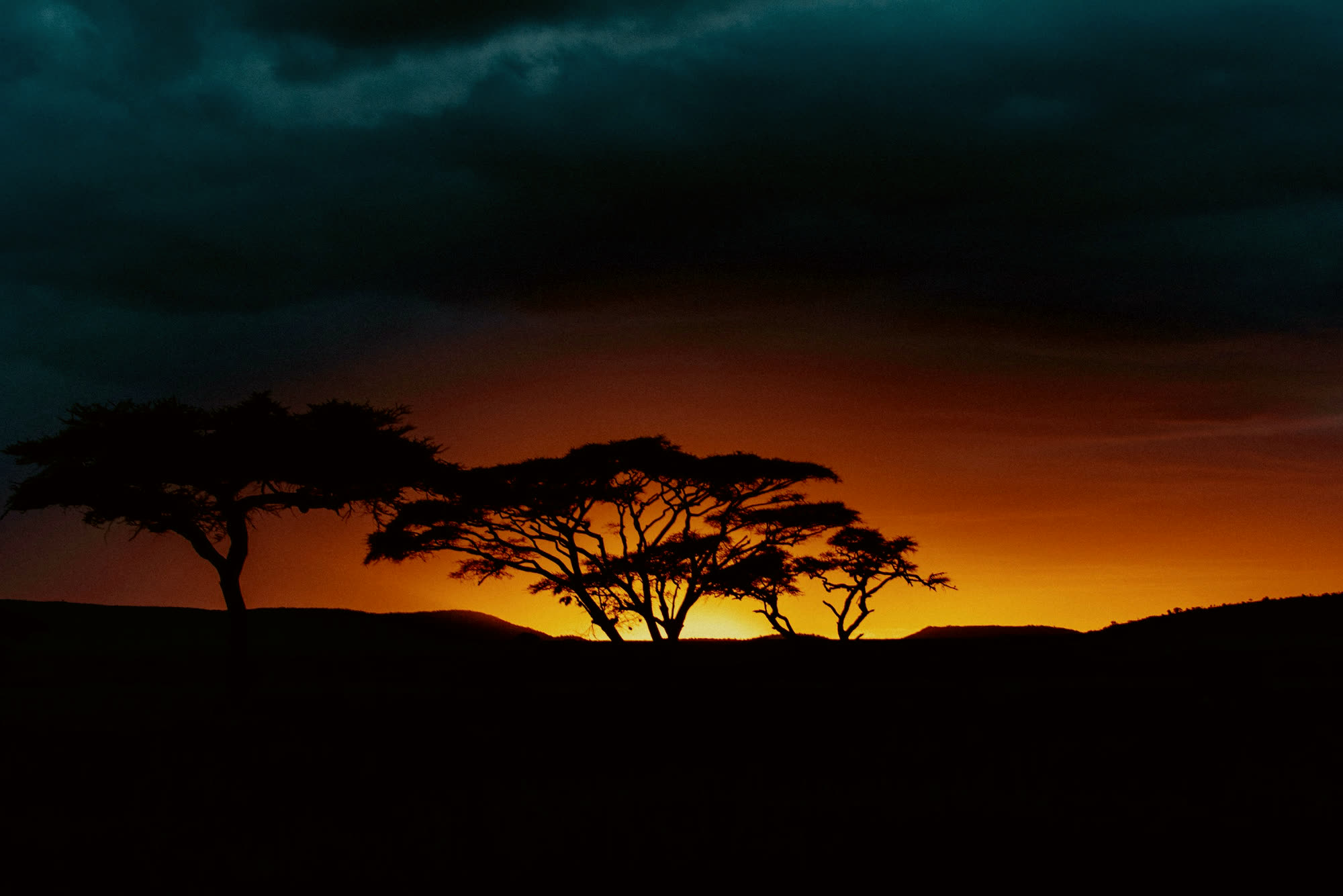
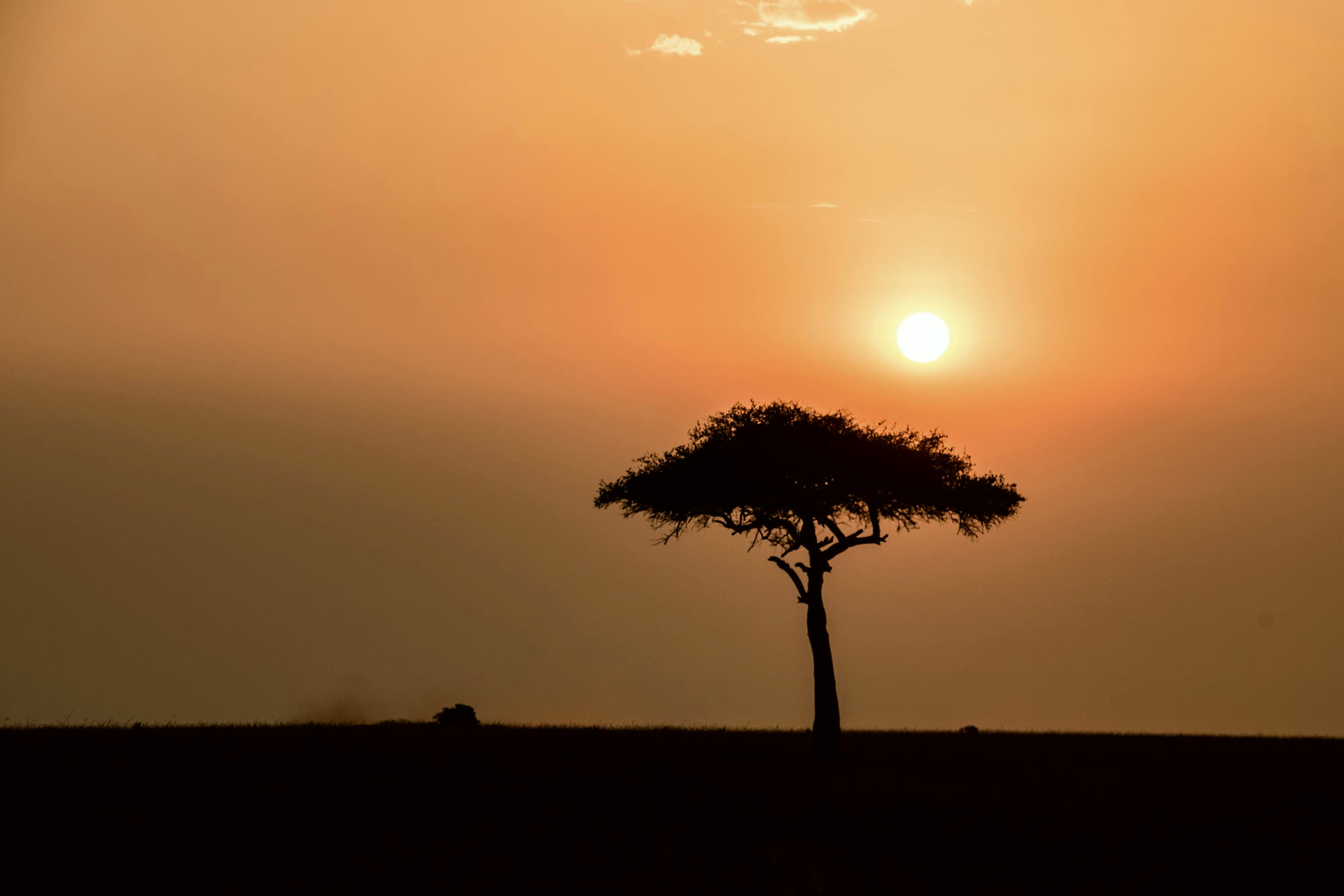
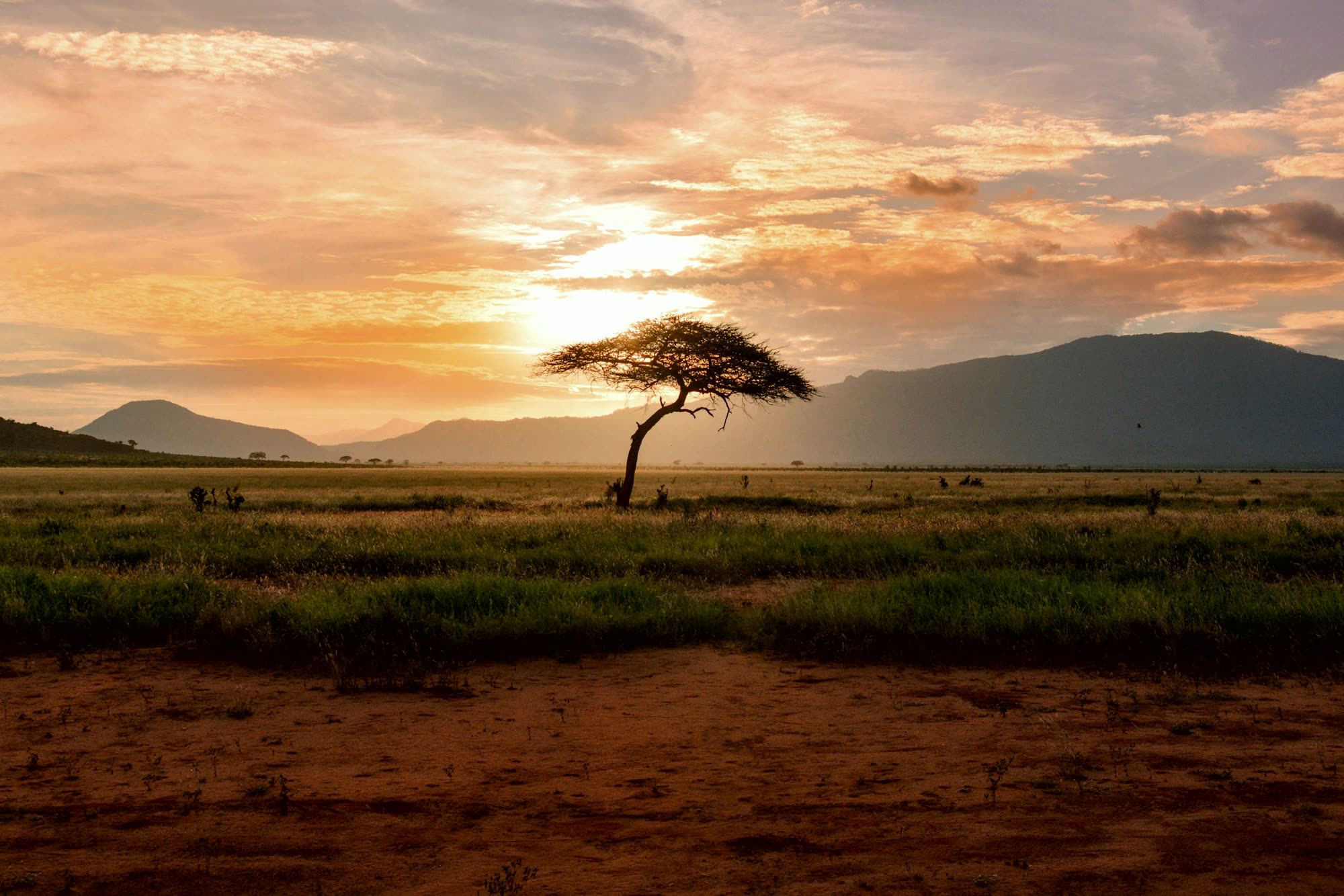
2,340 mNgorongoro · Tanzania
The crater rim is high enough that you want a fleece at dawn, and most people are surprised by that. Six hundred metres below it the floor keeps its own weather, its own herds and a soda lake that goes pink when the light drops.
You descend into it after breakfast. You climb back out before dark, because the road up is not a road anyone should meet at night.
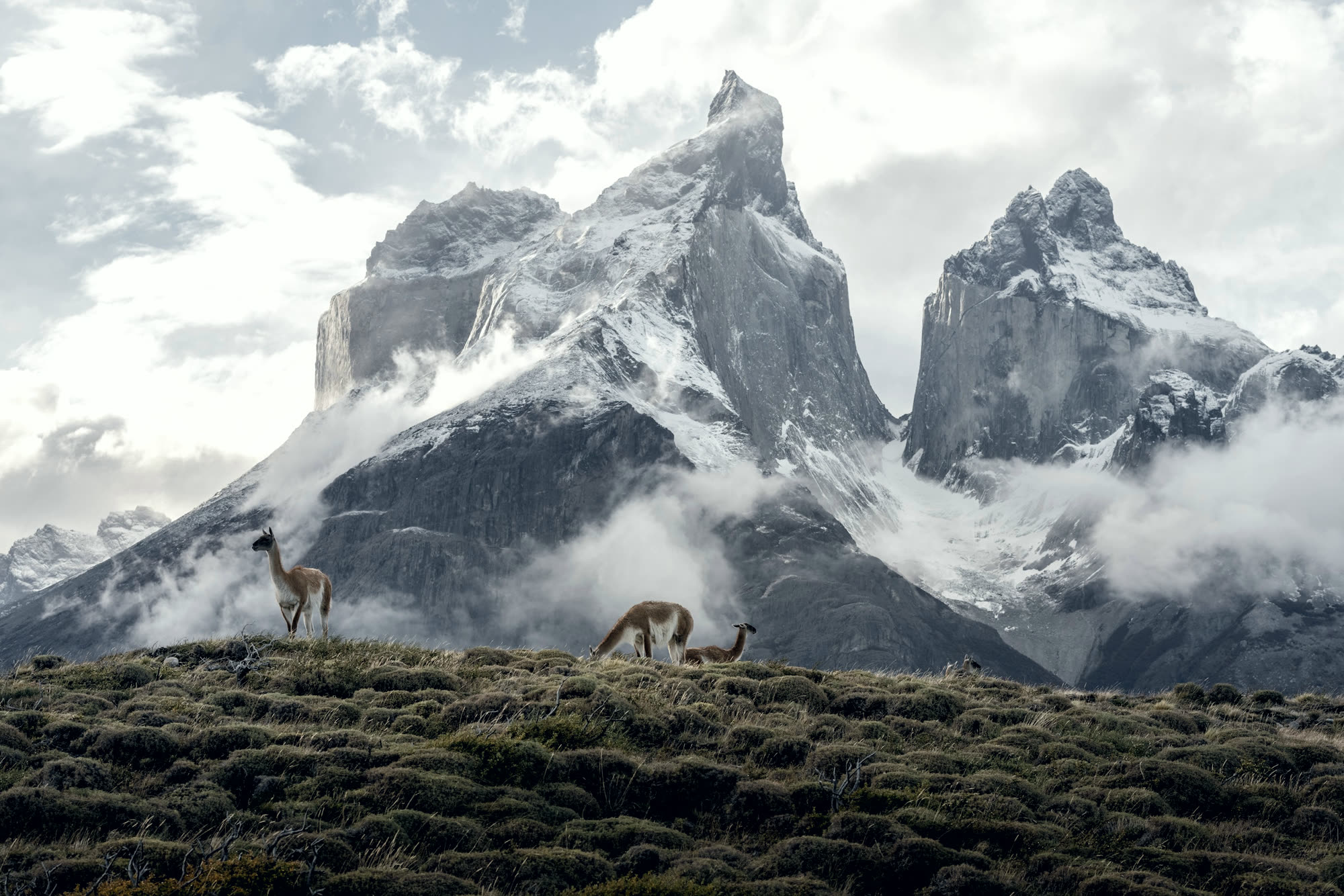
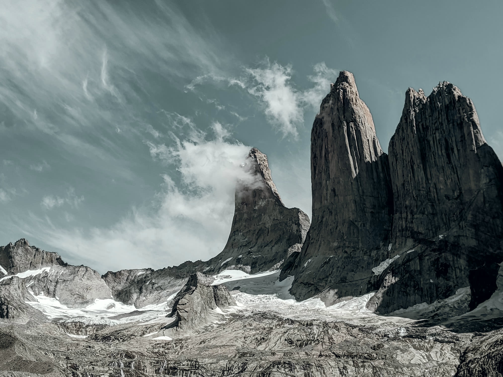
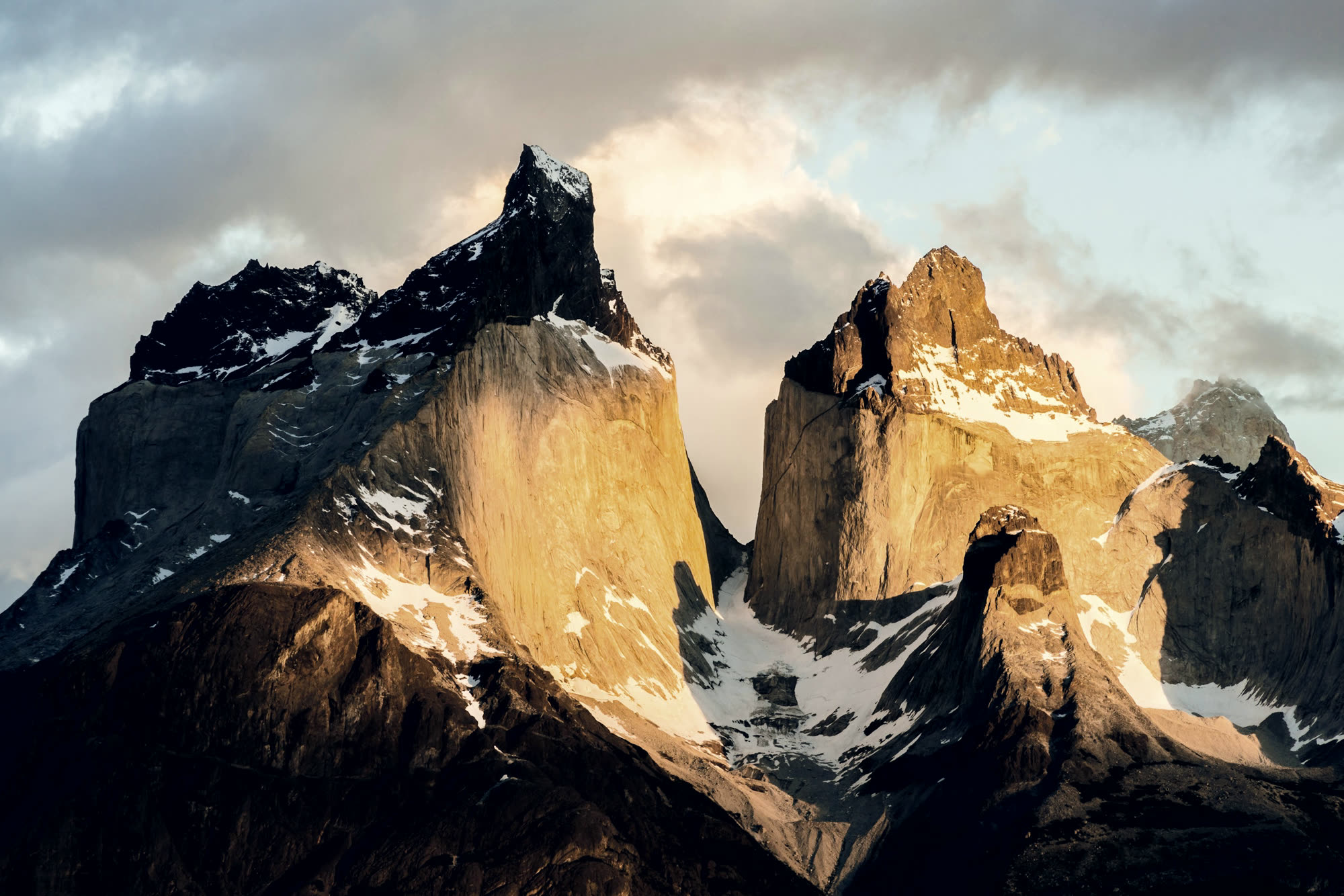
1,180 mPaso John Gardner · Chile
You climb through beech forest for three hours with no view at all. Then the trees stop, the wind arrives from the west, and the Southern Patagonian Ice Field opens across the entire horizon. Most people sit down.
Method
Weather windows, permits, acclimatisation nights, and the way down you hope not to use. The itinerary is the last thing we write, not the first.
01
We walk it ourselves, in the season we sell it, or we do not sell it.
02
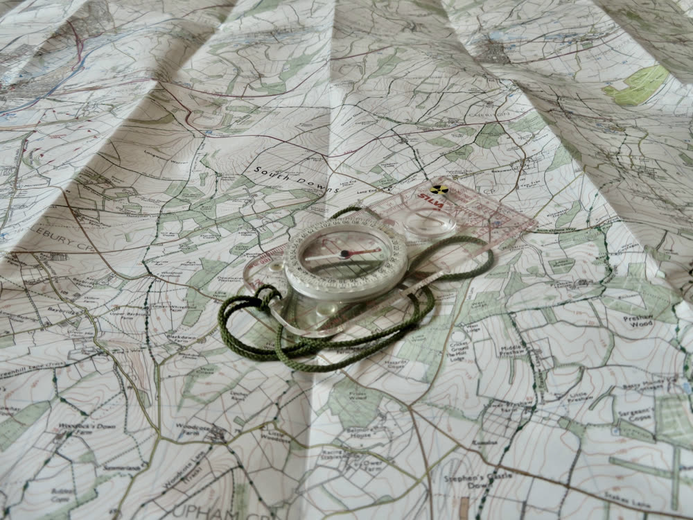
Departures are set against decades of local records, not a brochure season.
03
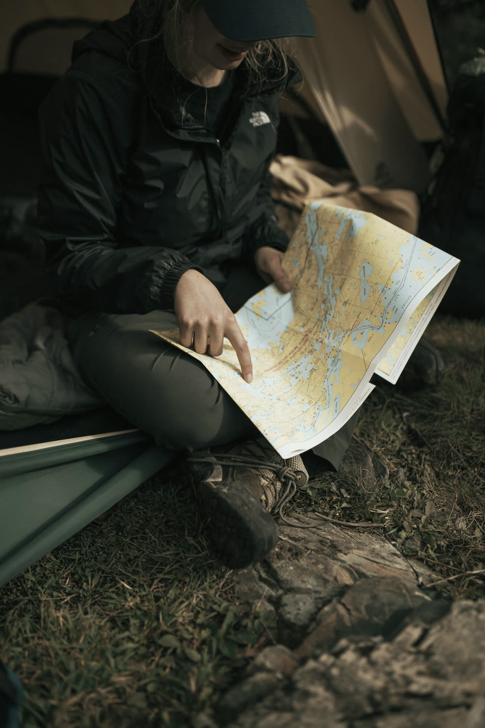
Metres gained per sleeping night is a planned number. It decides who arrives.
04
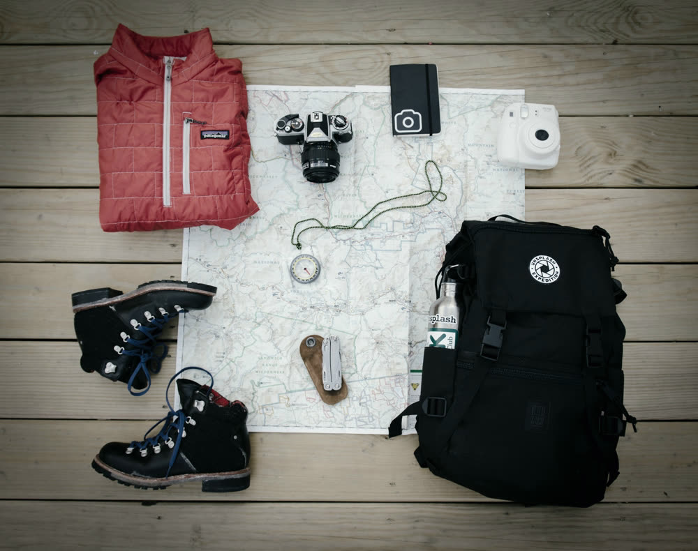
Some of these take a year. We start them before anyone has paid us.

05
Every day carries an exit that does not depend on a helicopter arriving.
06
[ Guide roster, certifications and years in region to be supplied by the client. No figures are invented here. ]
07
We will not run a departure we would not put our own people on.
180 mDanum Valley · Borneo
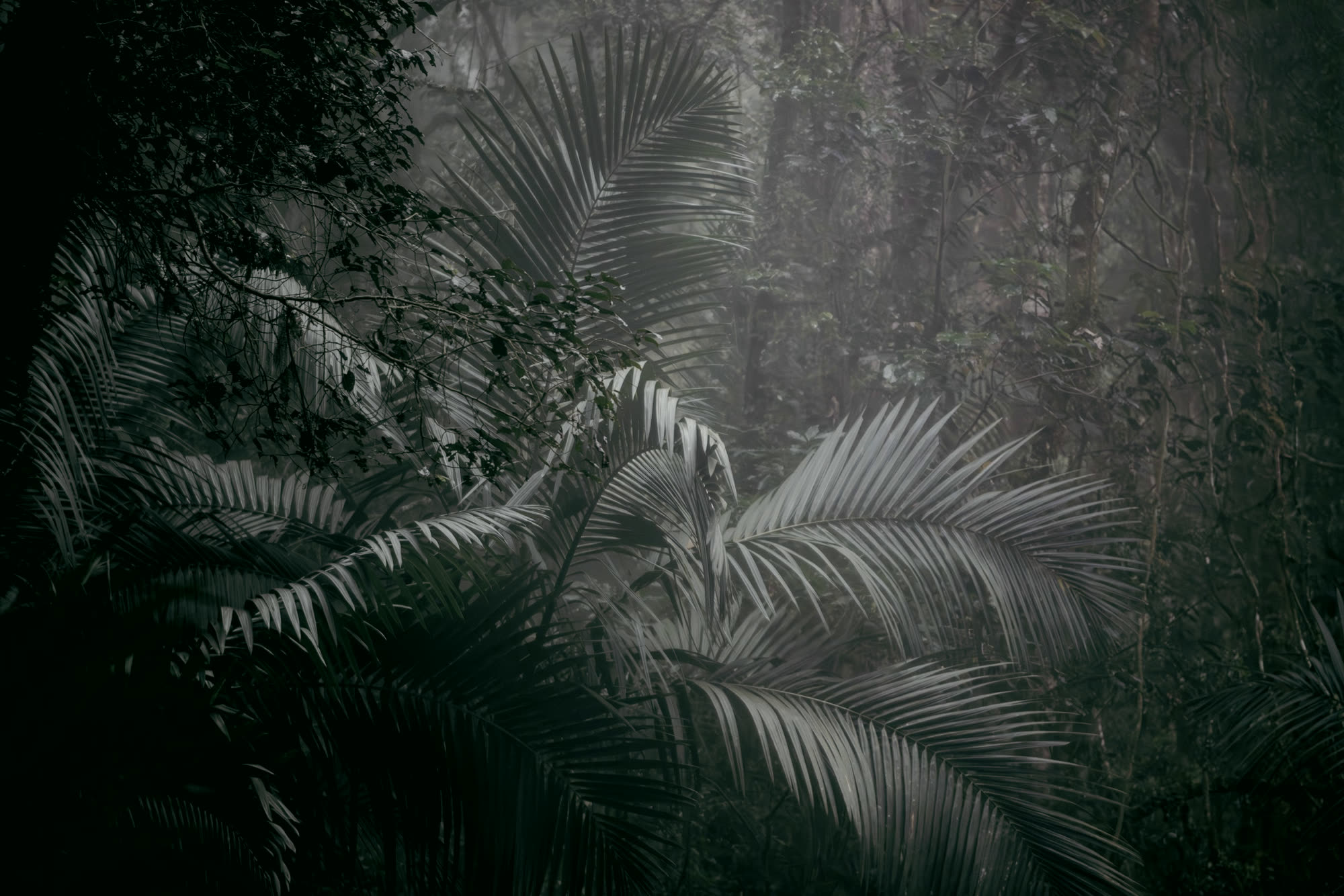
A hundred and eighty metres above the datum, and you cannot see forty of them in any direction. The canopy closes over the top of everything.
Distance stops being something you look at. It becomes something you listen to.
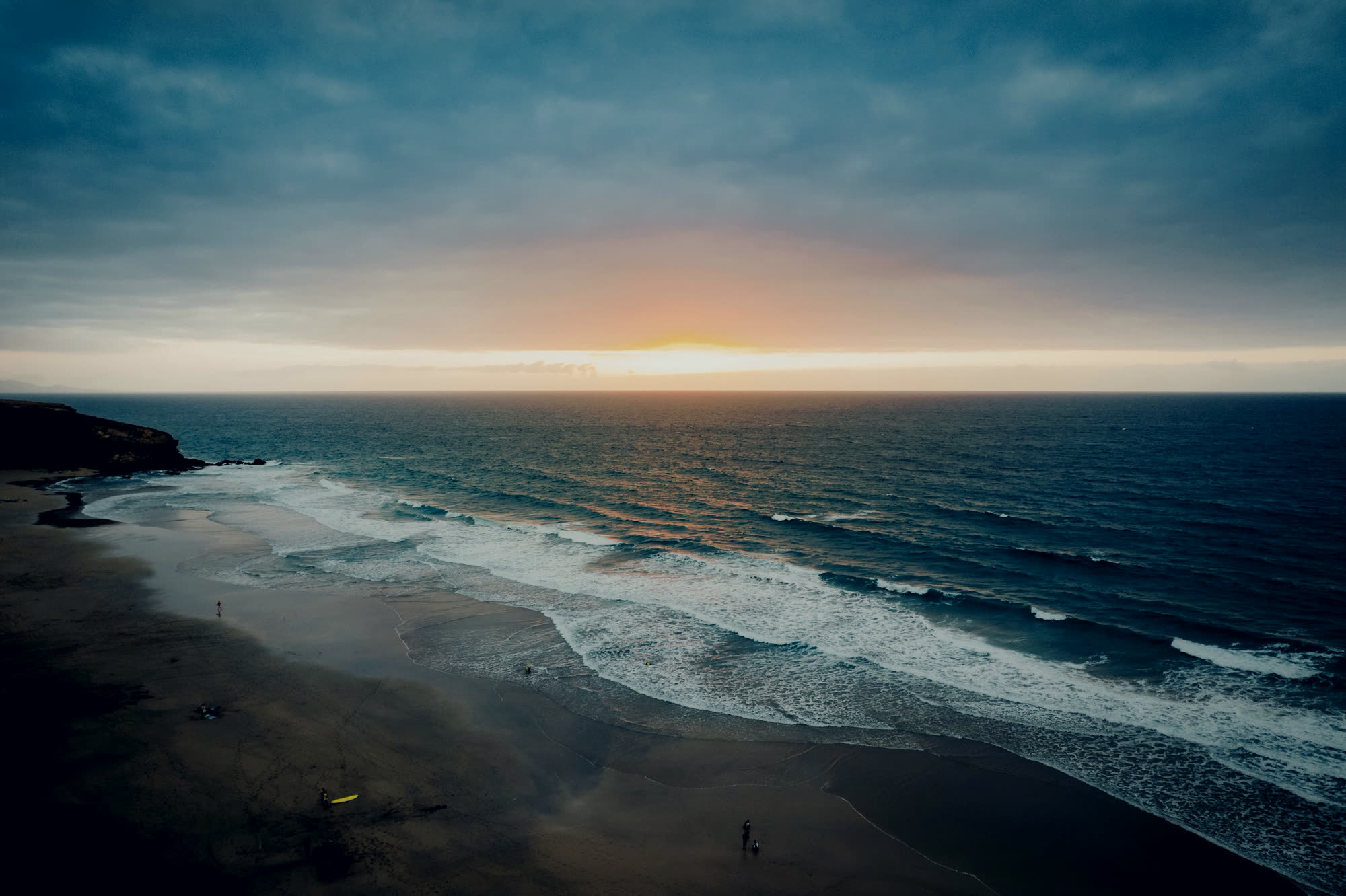

Sea level is not a place. It is the agreement that lets every other height on earth mean something. You are about to go through it.

−30 mRaja Ampat · Indonesia
Below the datum the numbers keep going and nothing else does. Weight leaves first, then direction stops mattering. People surface saying it was the quietest they have ever been.
Enquiry
A real person reads every one of these. Expect a reply within two working days, with questions before an itinerary.